About
This application is a combined interactive map and data download resource for the WABbase database. WABbase is a water quality database maintained by the Division of Water and Waste Management of the West Virginia Department of Environmental Protection. The database includes over 2 million results for nearly 300 parameters sampled from over 15,000 sample locations throughout the state.
Map Tab-- explore the data interactively and download data for individual sampling sites. Map layers include:
Result averages (group) -- state-wide results for one or more common parameters, such as Aluminum, pH, Conductivity, etc.
- symbols vary by the average of all the results for one parameter
- numerical values are labeled at large scales
- multiple layers can be selected and labeled at the same time
Stations -- this is the primary interactive layer.
- click on features from this layer to add to the station list in the right panel
- click
on the 'i' icon for a station to display:
- details about the station
- graph results for each parameter.
- download data for this station
303d & tier3 streams -- streams included on the 2016 impaired streams list. Individual layers are available for specific impairments, including:
- Manganese
- PCBs
- Selenium
- Iron
- Aluminum
- Fecal/Bacteria
- pH
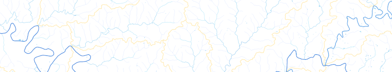
WV hydrology -- reference layer for stream names and watersheds used by the WVDEP
- visibility and symbols are based on total miles of streams above each segment
- stream labels include WVDEP's AUID code at large scales
- Large (8-digit) watersheds use WVDEP names for consistency with TMDL assessments
Download Tab -- download data for individual watersheds at the 8 digit, 10 digit, or 12 digit level.